Dammed water · Georgetown
Lake Georgetown and the Goodwater Loop
A Corps of Engineers reservoir on the North San Gabriel, ringed by a rocky 26-mile trail. Few walk it in one go; most take it in sections, between lake parks and a spring-fed waterfall.
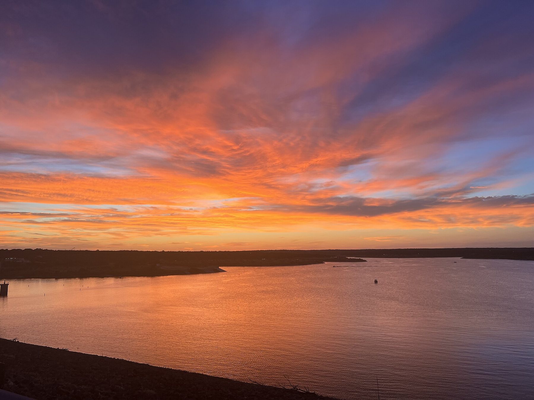
West of Georgetown's courthouse square, the North Fork of the San Gabriel River backs up behind a long earthen dam to form Lake Georgetown. It is a working reservoir, built by the U.S. Army Corps of Engineers for flood control and water supply and finished around 1980, and it is ringed by one of the longest continuous hiking trails in central Texas: the Goodwater Loop, which circles the whole lake for roughly twenty-six miles.
What the loop is like
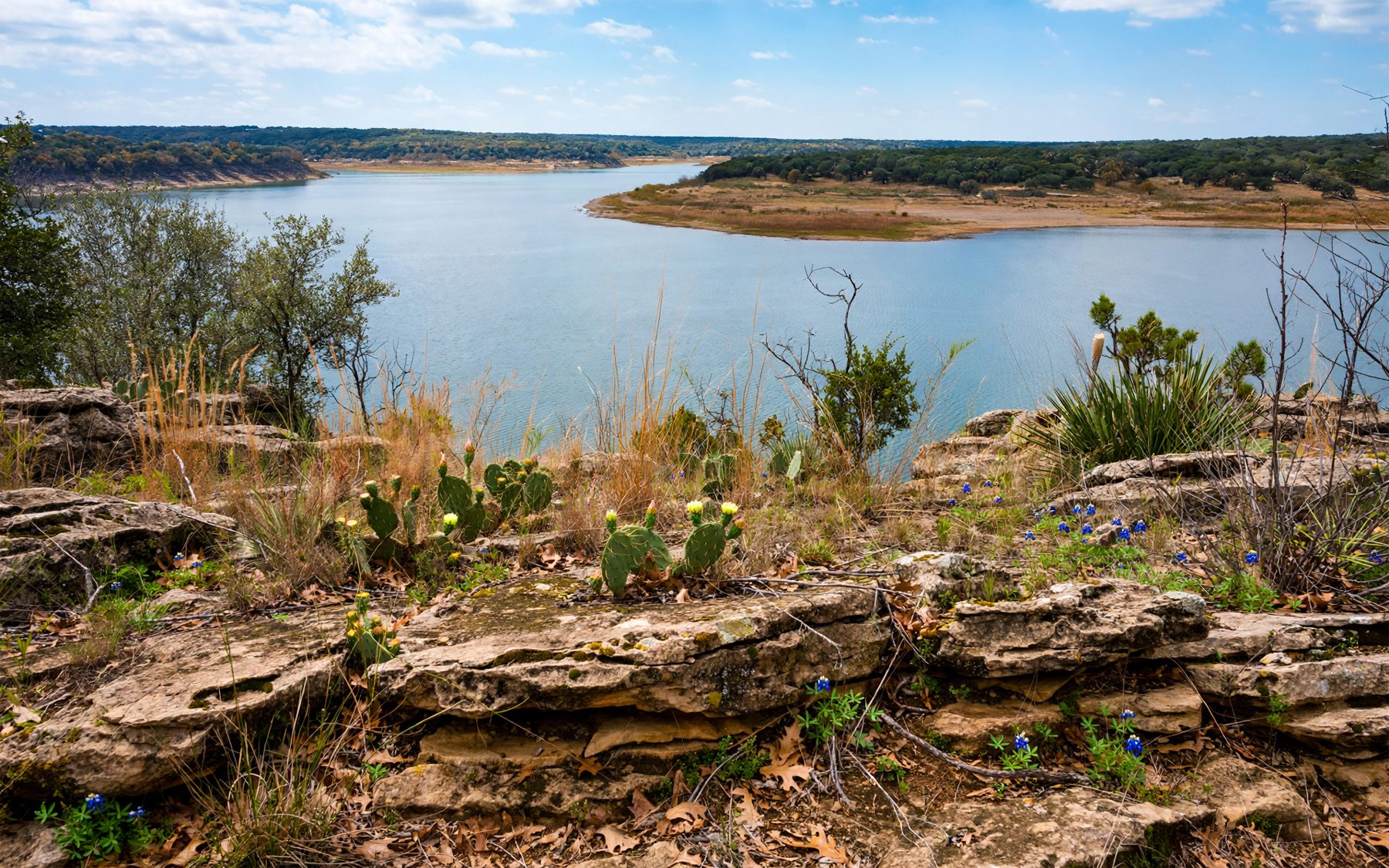
The Goodwater Loop is a narrow, rocky path that follows the shoreline through cedar and oak woodland, over open limestone ledges and across the creeks that feed the lake. It dips into side canyons, climbs onto low bluffs with views over the water and drops back to the shore again. There are few long climbs, but the ground is rough almost everywhere: loose rock, steps of bare limestone and roots.
The trail is open to hikers, and parts of it to mountain bikers; check the posted rules for the section you plan to use. Markers and signposts help with navigation, but in places the path splits around rock outcrops or old roads, and it pays to carry a map.
Very few people walk all twenty-six miles in a single day. A more common approach is to treat the loop as a series of sections between the lake's parks and trailheads, each a few miles long, and to complete the circuit over several outings. Backpackers sometimes make a two-day trip of it, camping at a primitive site part way round.
When choosing a section, think about how you will get back. Out-and-back walks from a single trailhead are the simplest. With two cars, or a friend willing to drive round the lake, you can walk one way between parks and see twice as much trail. The western end, towards the river, tends to be quieter and wilder; the stretches near the dam and the larger parks see more people.
Wildlife is part of the appeal. White-tailed deer are common, wild turkeys sometimes cross the trail, and ospreys and herons work the water. In winter, flocks of ducks and other waterbirds rest on the open lake, and the bare branches give long views down the coves. As anywhere in the Hill Country, keep an eye out for snakes on warm rocks and watch where you put your hands when scrambling.
Crockett Gardens and its falls
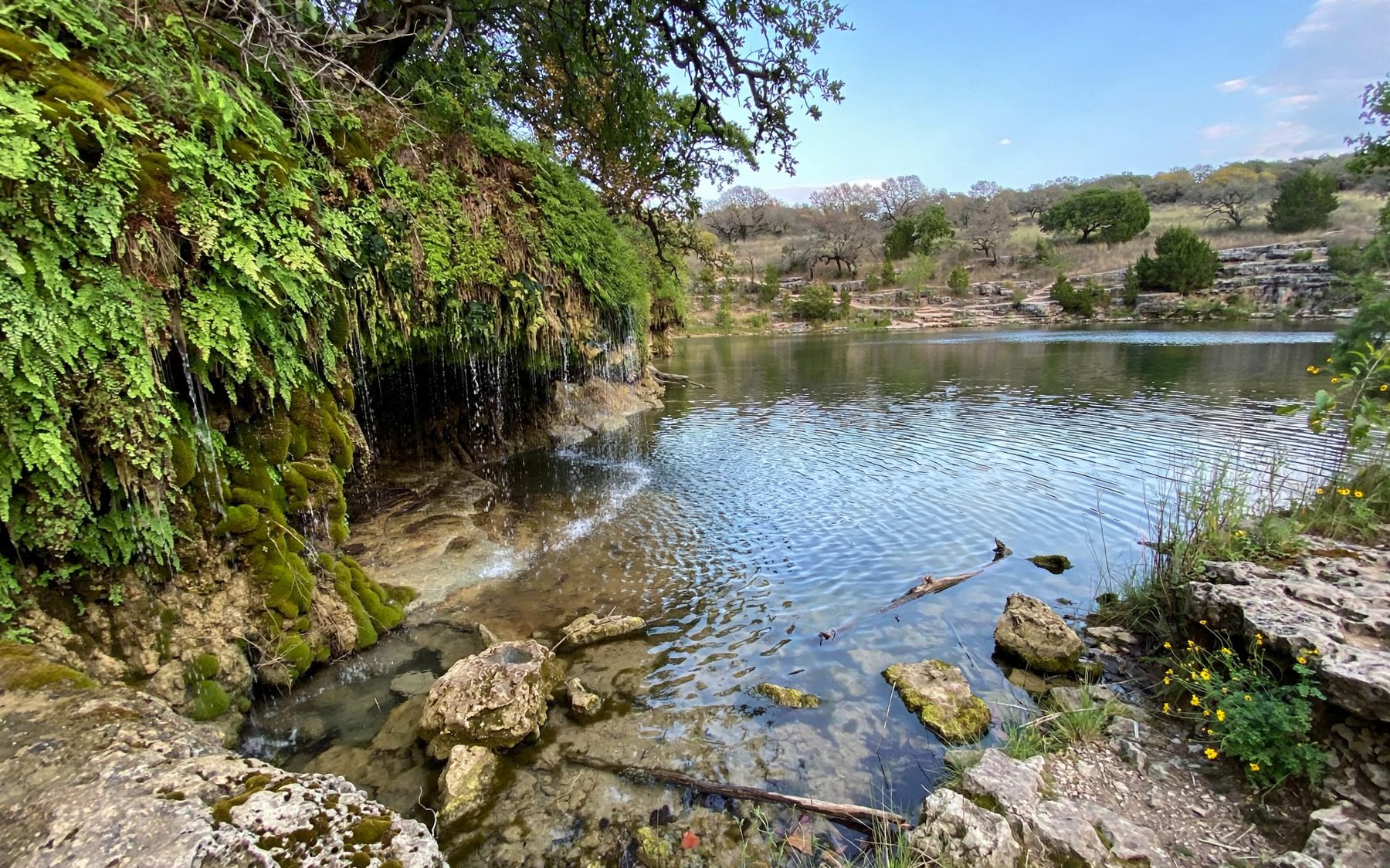
The most popular single destination on the loop is Crockett Gardens, a few miles along the trail from Cedar Breaks Park. Here a spring emerges from the hillside above the lake and tumbles over a series of mossy limestone ledges into a pool, surrounded by ferns and trees. Nearby are the stone ruins of a homestead from the nineteenth century, when settlers used the spring to water gardens on the slope.
The falls run best after a wet spell, when the spring is full; in long droughts they can shrink to a trickle. The walk there and back makes a satisfying half-day hike, with the waterfall as a shaded reward in the middle.
The spring and the pool are fragile. Stay on the path around them, do not climb on the wet rock, and leave plants and stones as they are.

The lake parks
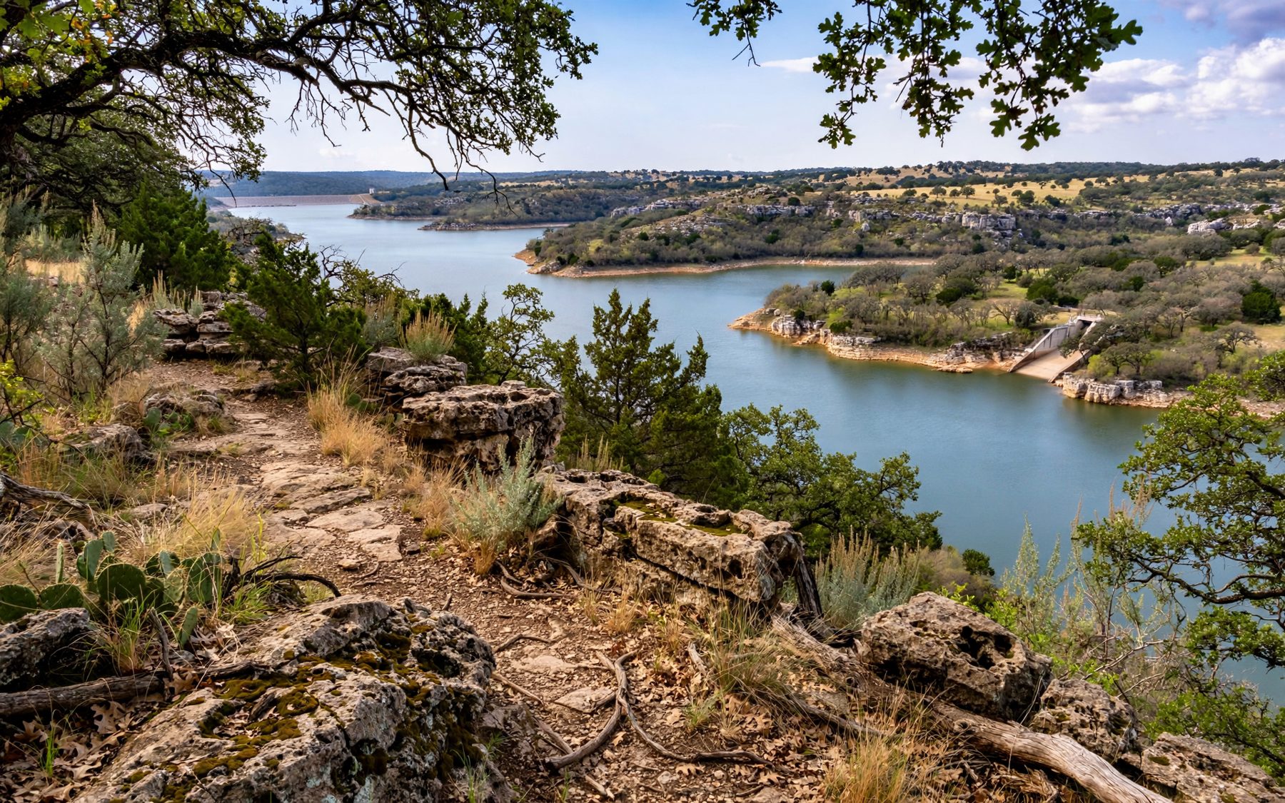
Several parks around the shore give access to the water and serve as trailheads for the loop. Among them are Cedar Breaks Park, near the dam on the south side, and Russell Park and Jim Hogg Park on the north side, with campgrounds, picnic areas, boat ramps and swimming areas in season. Tejas Camp, at the western end where the river enters the lake, is a more primitive area.
Park facilities, entry fees and opening seasons are set by the Corps of Engineers and change over time; some areas close in winter or when the lake is very high or low. Check the current conditions before you go, especially if you are counting on a particular park as a pick-up point for a one-way section hike.
Very few people walk all twenty-six miles in a single day.
Water, heat and the empty trail
The biggest challenge on the Goodwater Loop is not the terrain but the conditions. There is no drinking water along the trail. Much of the route is exposed, and on summer afternoons the limestone reflects the heat back up at you. Even short sections can be dangerous in July and August for walkers who underestimate the sun.
From late spring to early autumn, walk at first light and keep sections short. Carry more water than you think you need, at least a litre for every couple of hours and more in summer, plus salty snacks. Tell someone your route and your expected return. Mobile coverage is reasonable in most places but not guaranteed in the deeper coves.
The cooler months are the trail's real season. From October to April, with clear skies and mild days, the loop is a pleasure: the water glitters below the bluffs, the cedar smells sharp in the cold air, and long sections are possible without heat stress.
Lake levels and the shore
Like most reservoirs in the region, Lake Georgetown rises and falls with drought and flood. In dry years the shoreline retreats, leaving wide bands of bare rock and mud below the trail; after big storms the water climbs into the trees and can cover low sections of path and park roads. The Corps posts lake levels and closures.
The lake is also part of the water supply for the area, so be careful with litter and fuel near the shore. Swimming is allowed only in designated areas, and glass containers are best left at home on the shore and the trail alike.
Starting from town or from Lakeline
Lake Georgetown sits a short drive west of downtown Georgetown, which makes it easy to combine a morning on the trail with an afternoon on the square or at Blue Hole on the San Gabriel River below town. From the Lakeline area, the drive north through Leander and east on Highway 29 takes around half an hour.
Weekday mornings are the quietest time on every section, and the light on the water is at its best in the first hour after sunrise. For a first visit, try the out-and-back to Crockett Gardens from Cedar Breaks Park on a cool morning. Pack a lunch, sit by the pool below the falls and listen to the water, then walk back with the lake on your other side. If you enjoy it, the rest of the loop is waiting, one section at a time, and finishing the whole circle over a winter makes a fine local goal.