Creeks
Greenbelts that follow the limestone creeks between the neighbourhoods: shade, ledges and, after rain, running water.
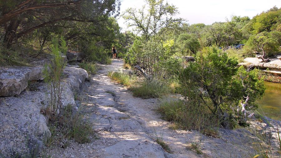
Bull Creek Greenbelt: limestone shelves and swimming holes
Bull Creek runs clear over pale limestone shelves through northwest Austin. A trail follows it upstream from the district park, crossing the water again and again under cedar and oak.
- Length
- 3 to 4 miles, return
- Shade
- deep shade
- Start from
- Northwest Austin
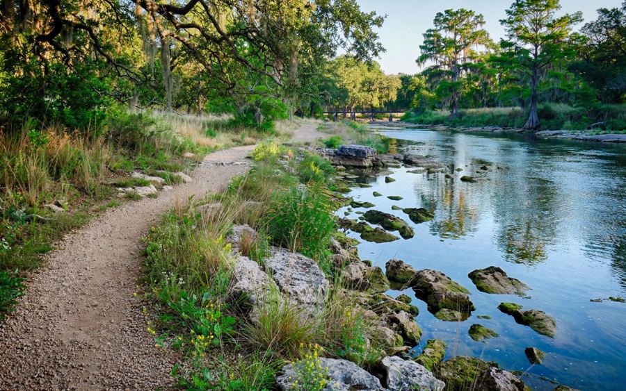
The San Gabriel River trail through Georgetown
Two forks of the San Gabriel meet a few blocks from Georgetown's square. A riverside trail links a spring-fed swimming hole, big shady parks and limestone bluffs along the water.
- Length
- about 5 miles of path
- Shade
- some shade
- Start from
- Georgetown
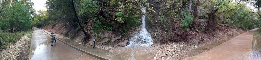
Brushy Creek Regional Trail, end to end
Seven miles of paved and granite path follow Brushy Creek from Cedar Park towards Round Rock, under pecans and cedar elms, past ledges, small falls and the odd swimming hole.
- Length
- about 7 miles one way
- Shade
- some shade
- Start from
- Cedar Park
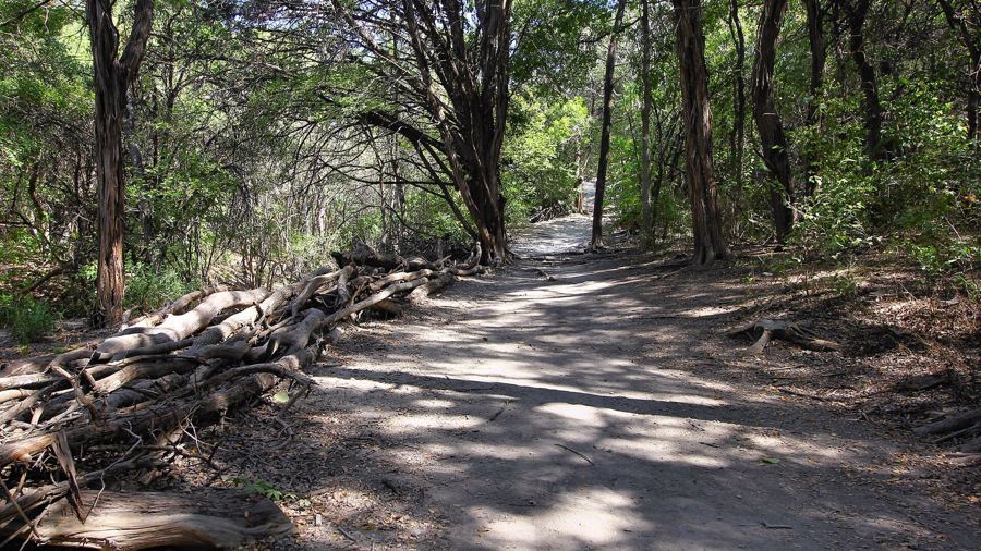
Walnut Creek Metropolitan Park's shady web of trails
A big city park in north Austin hides miles of narrow dirt trails under oak and cedar elm, threaded along a creek. Walkers, runners, dogs and mountain bikes all share them.
- Length
- loops up to 15 miles
- Shade
- deep shade
- Start from
- North Austin