Creeks · Cedar Park
Brushy Creek Regional Trail, end to end
Seven miles of paved and granite path follow Brushy Creek from Cedar Park towards Round Rock, under pecans and cedar elms, past ledges, small falls and the odd swimming hole.
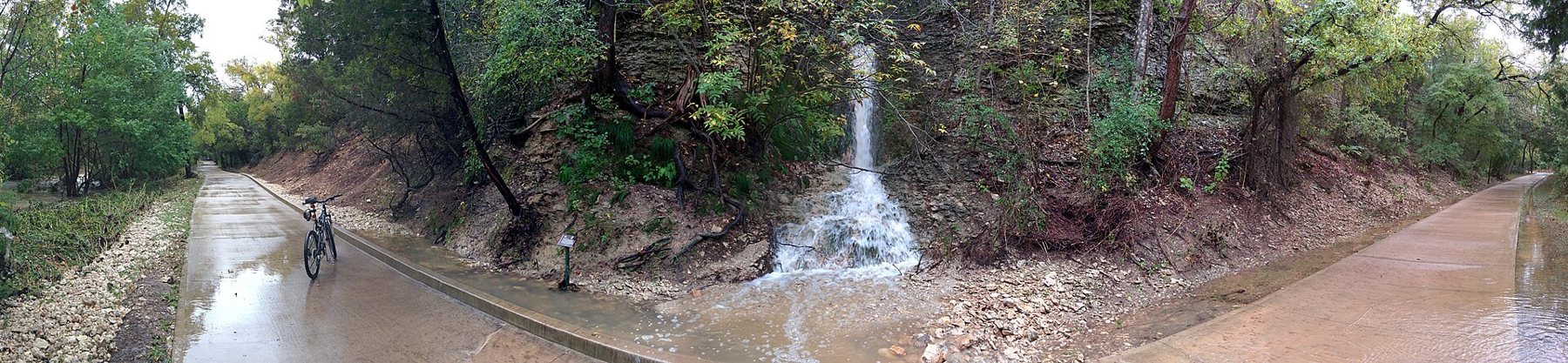
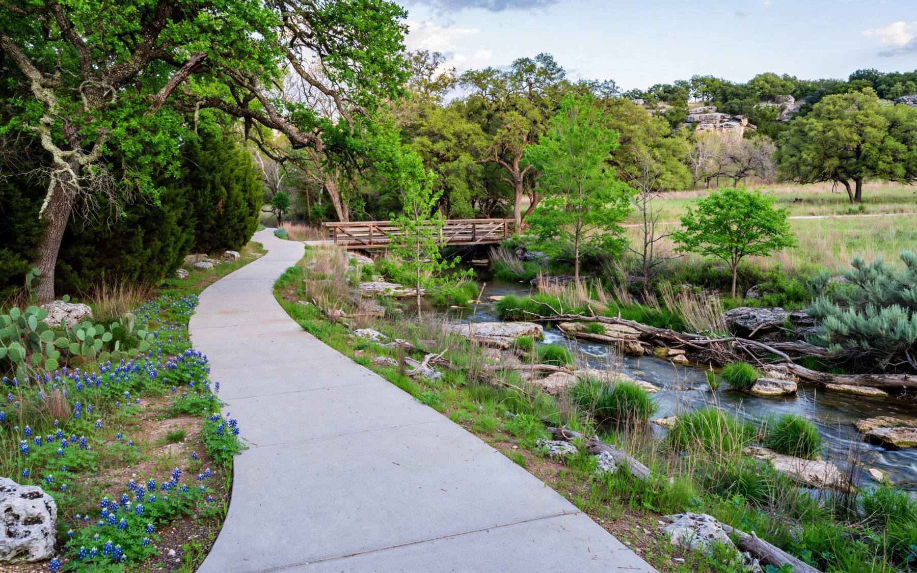
Brushy Creek runs east out of the hills, through the northern suburbs and on towards the Blackland Prairie. For about seven miles between Cedar Park and the edge of Round Rock, a regional trail follows it: a wide, mostly level path of concrete and crushed granite that ducks under roads, crosses the creek on low bridges and stays close enough to the water to hear it most of the way. It is the easiest long walk or ride on this board, and one of the most used.
The creek has a long human story. Its springs and gravel bars drew people for thousands of years, and one of the oldest human burials known in Texas was found close to its banks near Cedar Park. Later it watered farms and mills. Today it drains a fast-growing stretch of suburbs, and the trail is part of how the counties have tried to keep a green spine through the new streets.
Where it starts and ends
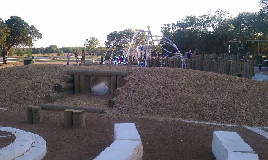
The western end is at Brushy Creek Lake Park, a county park around a small lake held behind a flood-control dam. The park has parking, restrooms, a splash pad, sports fields and open lawns, which makes it the natural trailhead. From here the path heads east, downstream, through a string of parks and greenbelts managed by the county and the local utility districts.
The eastern end reaches the edge of Round Rock. Several neighbourhood parks along the way have their own small parking areas, so you can join the trail in the middle and walk a section rather than the whole thing. Signs and mile markers along the route help you keep track, and road underpasses mean you rarely have to cross traffic.
Done as an out-and-back from Brushy Creek Lake Park, the full route makes a long day on foot, at around fourteen miles. Most walkers choose a section; cyclists and runners often cover the whole length.
Section by section
The stretch nearest the lake park is the most open, with lawns, ball fields and the dam. Once the trail settles into the creek corridor, the mood changes. Pecans, cedar elms, sycamores and hackberries crowd the banks, the limestone shows through in ledges and shelves, and after rain the creek spills over small falls and riffles.
The middle miles pass through residential districts, but the houses mostly stay out of sight behind the trees. Benches and small overlooks give you places to stop. In a few spots informal side paths lead down to the water, where families wade on hot days. The creek bed is slippery limestone, and the water quality after storms is not something to take for granted, so look before you paddle.
Towards the eastern end the land flattens and opens out, and the trail feels more suburban again before it reaches the Round Rock parks.
Keep an eye on the water and the trees. Turtles bask on logs in the slower pools, great blue herons stand motionless in the shallows, and in spring and autumn migrating songbirds pass through the canopy. Armadillos dig along the edges at dawn and dusk. In the warmer months the creek bed hums with dragonflies.
For children the trail works well in short pieces: a mile out to a bridge or a bench by the water and back again, with a stop to throw stones into a pool. The splash pad and playgrounds at the lake park make a good reward at the end.
Sharing the path
This is a multi-use trail, and on weekend mornings it is busy with walkers, runners, dog walkers, strollers and cyclists. A few habits keep everyone friendly:
- Keep right, pass on the left and call out or ring a bell before overtaking.
- Cyclists set the pace for the slowest users around them, especially on blind bends under the trees and on the low bridges.
- Dogs stay on short leads and owners pick up after them.
- Groups walk two abreast at most when the trail is busy.
Surfaces are good for road bikes on the paved sections and fine for hybrid bikes throughout. The crushed granite can be soft after heavy rain.
The same creek that makes a pleasant walk can turn into a fast brown torrent within an hour of a heavy storm.
When the creek rises
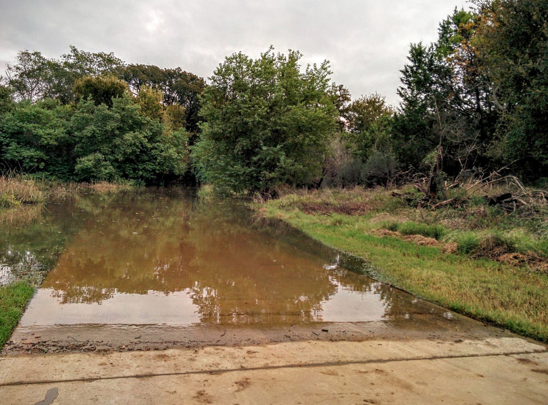
Brushy Creek is the reason the trail exists, and also the reason it closes. The same creek that makes a pleasant walk can turn into a fast brown torrent within an hour of a heavy storm. Several stretches of the trail and its low crossings sit right at water level, and they go under in floods.
In October 2015, when the remnants of a Pacific hurricane drenched central Texas, sections of the trail were underwater and covered in debris for days. Similar floods have followed other big storms. The dam at Brushy Creek Lake Park exists to hold back some of that water, but it cannot stop the creek downstream from rising.
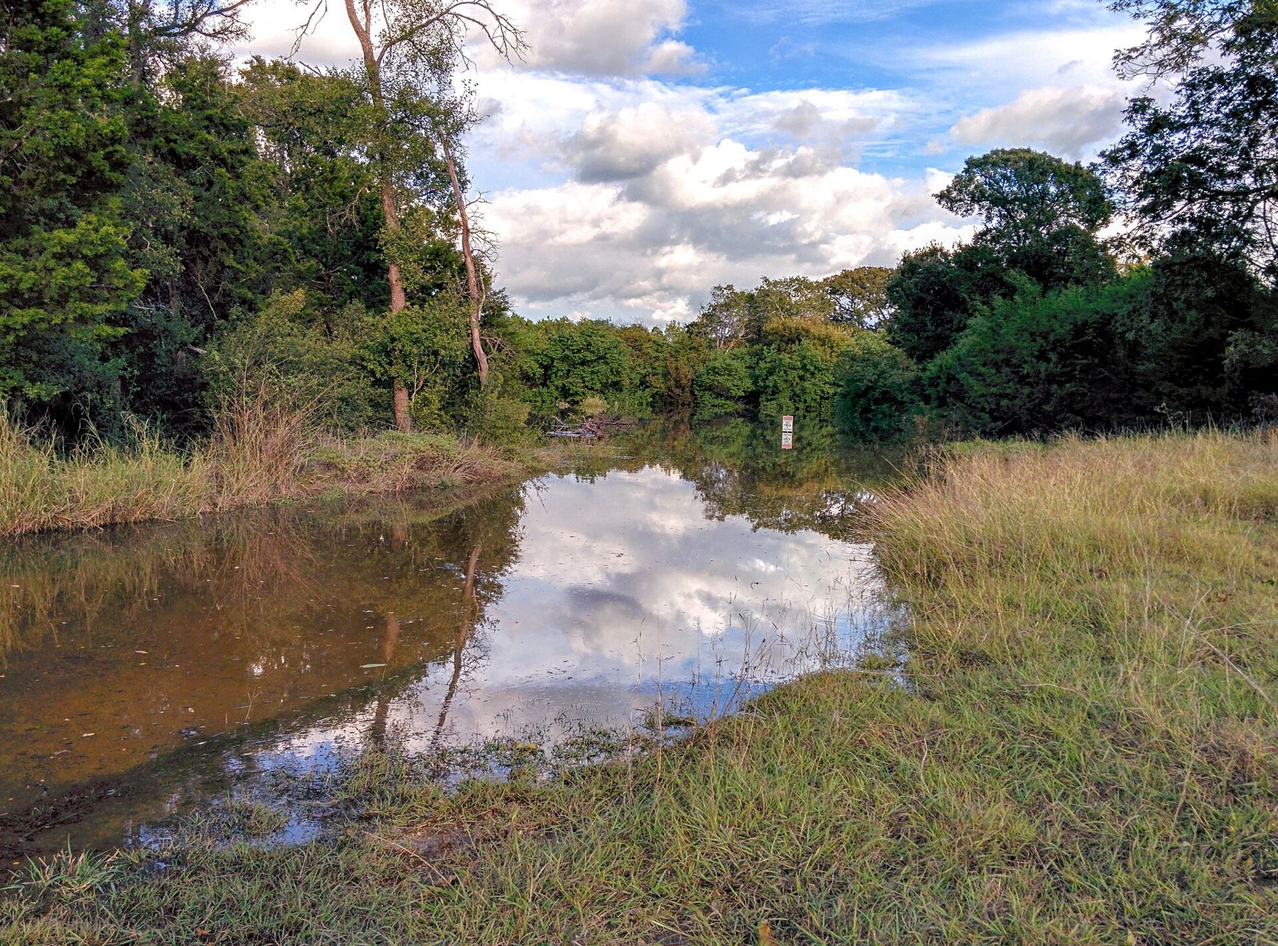
The rules are simple. Do not walk or ride into moving water on the trail, even if it looks shallow. Obey barricades and closure signs. After a flood, expect mud, fallen branches and damaged sections, and give the maintenance crews time to clear them.
Seasons on the creek
Autumn, winter and spring are the trail's best months. The trees give a little colour in late November, winter mornings are crisp and clear, and spring brings green leaves, wildflowers on the open stretches and birdsong along the water. Summer is busy early in the day and quiet at noon, when the open sections are fiercely hot.
Winter brings the odd hard freeze, when the ledges ice over at the edges of the pools and the bare branches open views of the creek that summer hides. Carry water in every season. There are water fountains at some parks along the way, but not everywhere, and some are turned off in winter.
Turning it into a full day
The trail is a good companion to Cedar Park itself, whose southern edge it follows, and to the creek greenbelts further south in Austin such as Bull Creek, which offer a rougher, rockier walk. For a contrast in the same afternoon, drive north-west to Warbler Vista for the evening view over the hills that feed this creek.
Above all, it is an everyday trail: a place to walk after work, to teach a child to ride a bike or to run a long, flat route without traffic. That ordinariness is its real strength, all year round. Few suburbs anywhere have a creek corridor this green running right through them.