Cedar shade, limestone creeks, and the hills north of town.
Northwest Austin and its neighbours, Cedar Park, Leander and Georgetown, sit on the edge of the Hill Country. This is a guide to getting outside there: the trails sorted by how long they are and how much shade they give, then the towns they start from.
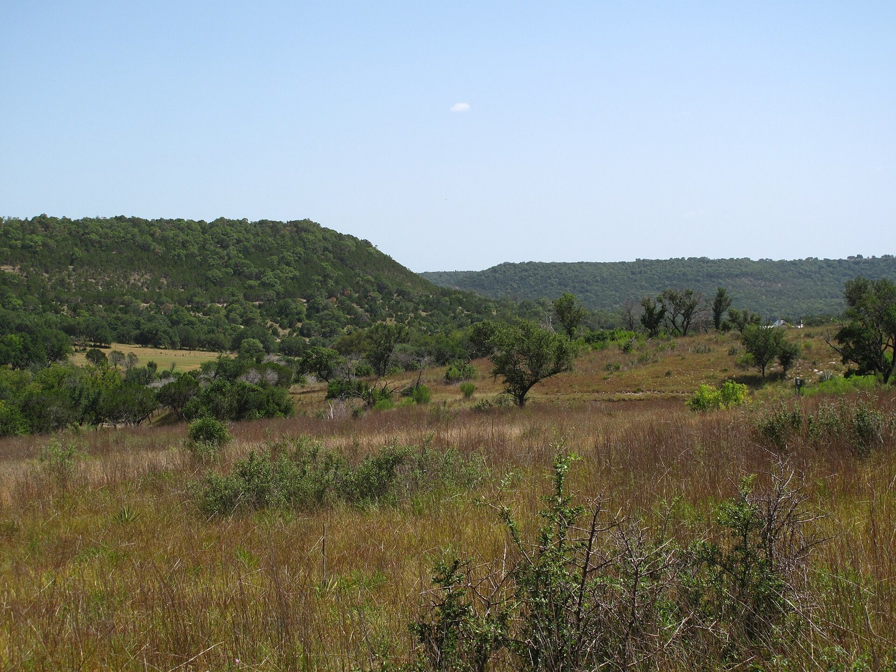
The trail boardPick by length, then by shade
Longhorn Cavern, the cool way to spend a hot dayAn underground river's tunnels, cool all summer
Doeskin Ranch, the easy door into Balcones CanyonlandsPrairie, creek and a climb to the ridge
Warbler Vista and the long look over Lake TravisShort trails to a long view over Lake Travis
Wild Basin Wilderness Preserve above Bee CreekA ridge, a canyon and a waterfall after rain
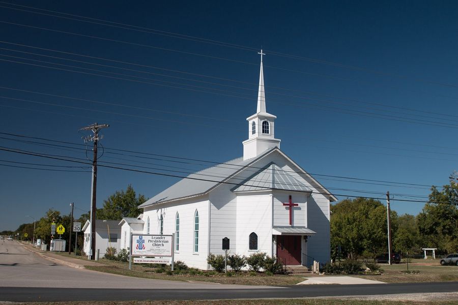
Leander, where the roads start to climbThe last suburb before the hills, with a small lake loop
Cedar Park as a trailhead townFrom cedar choppers to a suburb with a creek on its edge
Georgetown's square and the river below itA courthouse square town with a river path downhill
Bull Creek GreenbeltCreek crossings and swimming holes under the cedars
Lake Travis from its quieter north shoreCounty parks, limestone points and a lake that moves
The San Gabriel River trail through GeorgetownBlue Hole, river bluffs and pecan shade below the old town
Brushy Creek Regional Trail, end to endAlong the creek from Cedar Park towards Round Rock
Inks Lake State ParkPink granite outcrops above a clear, steady lake
Walnut Creek Metropolitan Park's shady web of trailsA web of shady loops, shared with mountain bikes
Lake Georgetown and the Goodwater LoopAll the way round Lake Georgetown, best split in sections
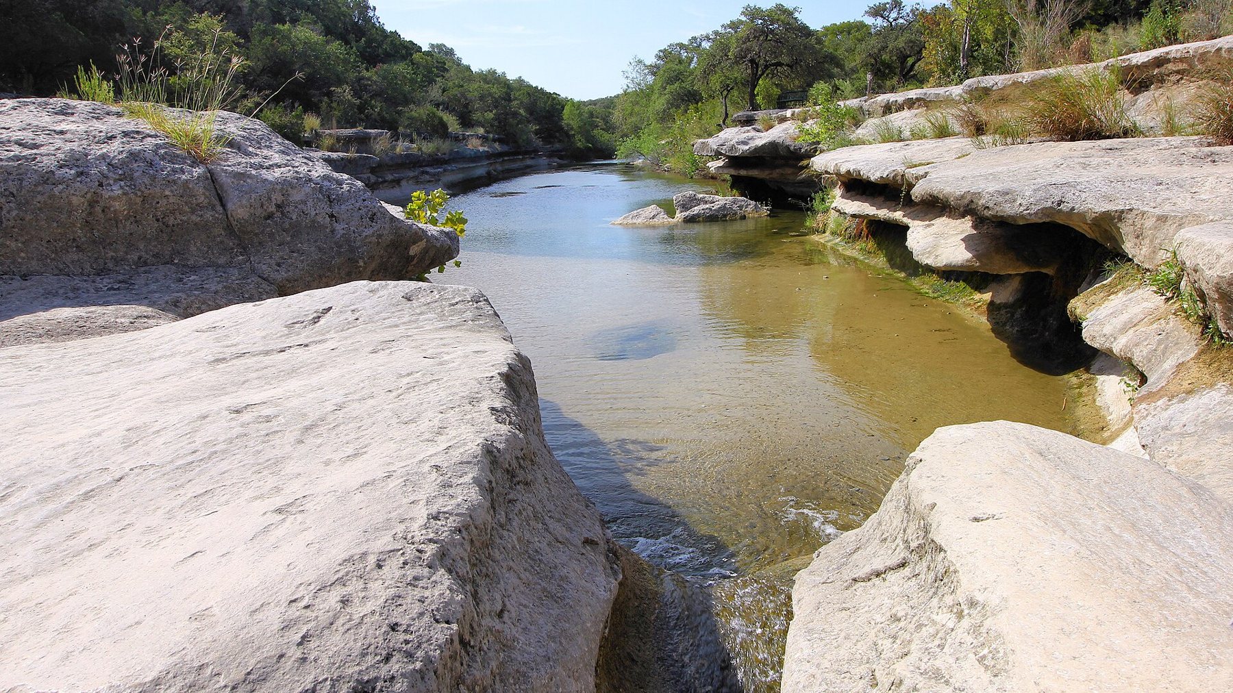
Where the trailheads are
Four places to start from, south to north.
Northwest AustinLakeline · Bull Creek · Walnut Creek
The city's own corner of the hills, where greenbelts follow the creeks between the neighbourhoods and the shade is real.
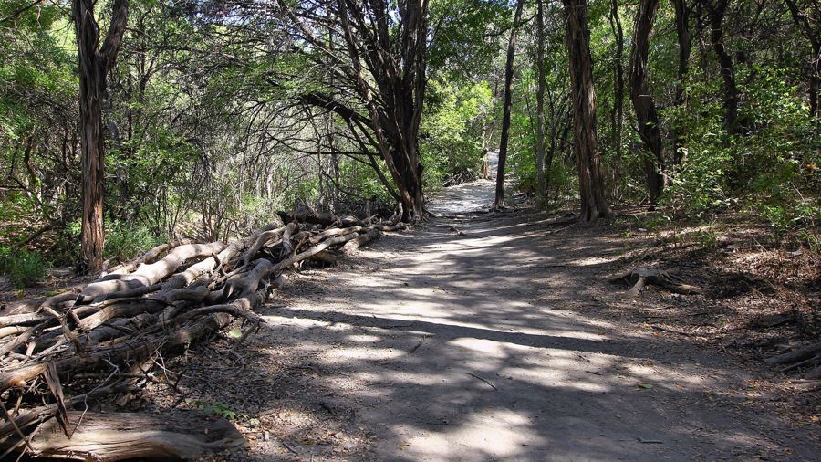
Cedar ParkBrushy Creek · Lakeline
The closest of the four to the Lakeline end of Austin, with the creek trail running along its southern edge.
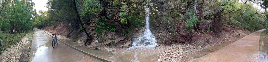
LeanderHill Country edge
Further north and higher up, where the roads start to climb and the views open out towards the west.
GeorgetownLake Georgetown · San Gabriel
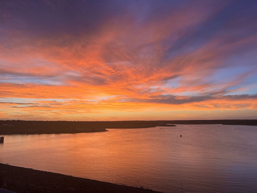
A courthouse square town with a reservoir on its western side and the San Gabriel River running through.
From June to September the heat is the real limit. Start early, carry more water than seems sensible, and pick shaded creek trails over open ridges. How to hike in the heat.
After heavy rain, low-water crossings can flood fast. Check the park’s own notices and never drive into moving water.