Dammed water · Lago Vista
Lake Travis from its quieter north shore
The south side of Lake Travis gets the crowds. The north shore, below Lago Vista and Jonestown, has county parks, limestone points and the long evening light across the water.
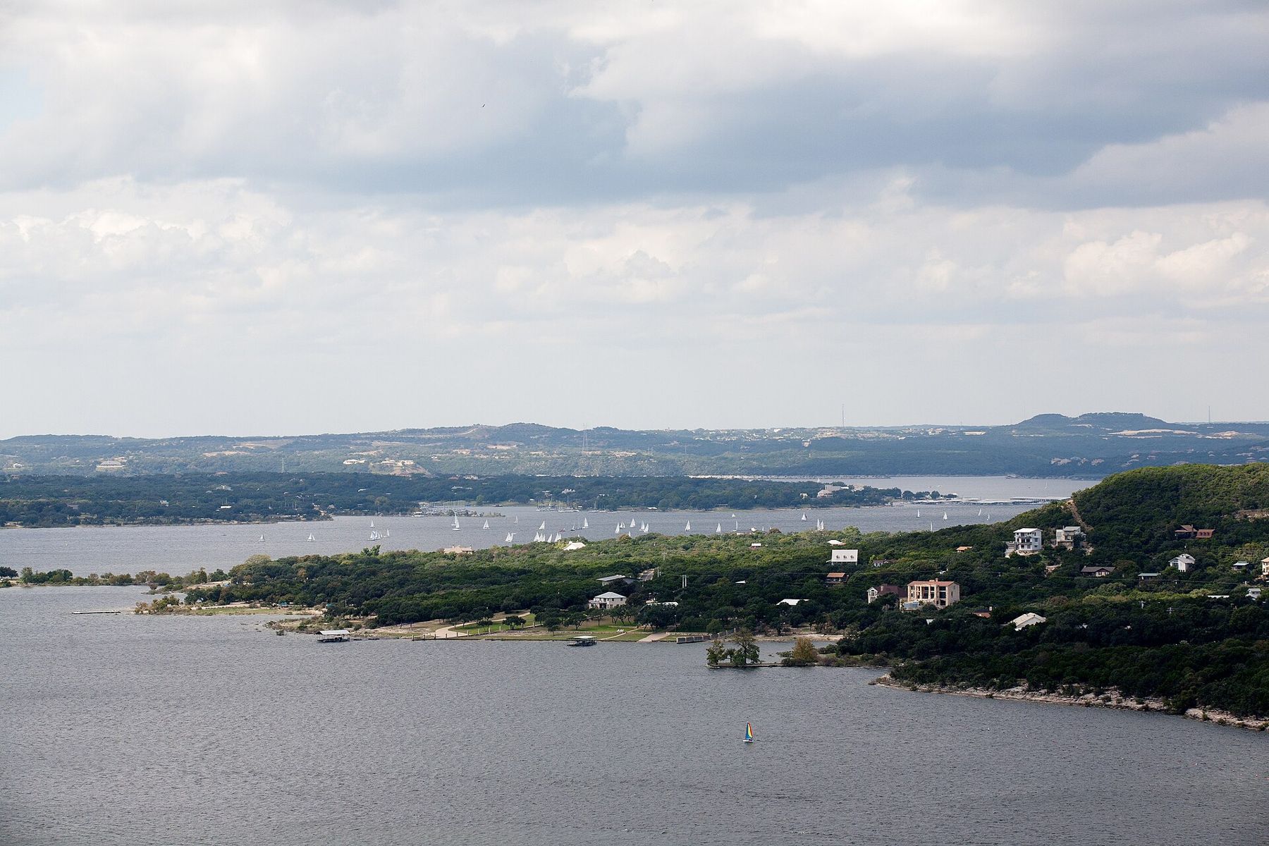
Lake Travis is the big water of the Austin area: a long, winding reservoir on the Colorado River that snakes for more than sixty miles through the hills west of the city. Most visitors meet it on the south and east side, where the marinas and the busiest parks are. The north shore, reached from FM 1431 through Jonestown and Lago Vista, is quieter, with county parks on limestone points and coves, and it is the side of the lake closest to the Lakeline end of town.
A lake that moves
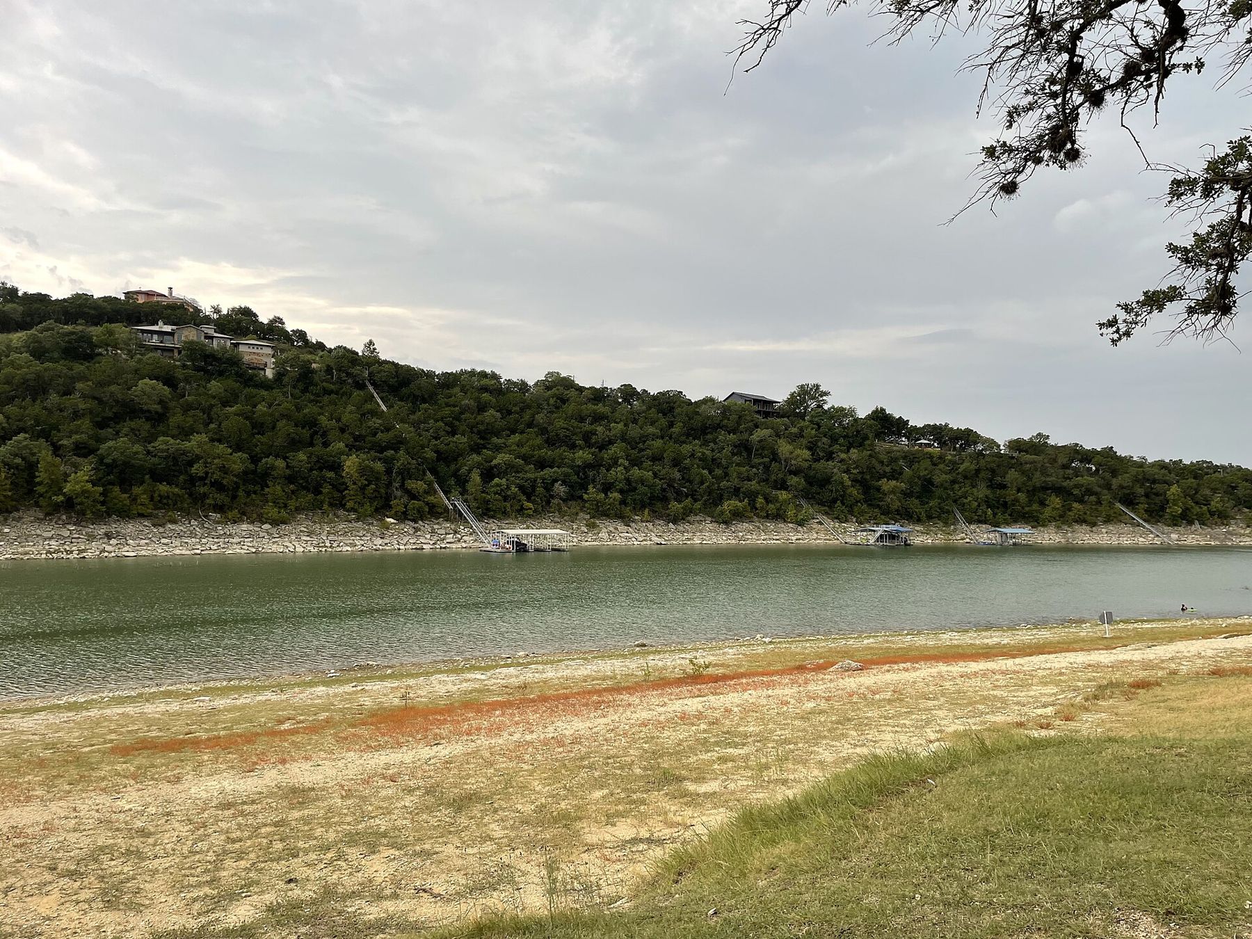
The first thing to understand about Lake Travis is that it does not stay put. It was created by Mansfield Dam, finished in the early 1940s, and unlike most of the Highland Lakes it is designed to hold back floods. That means its level is allowed to swing widely. In wet years it fills and can rise far above its normal level, drowning trees and swallowing parking areas. In droughts it shrinks dramatically, leaving boat ramps stranded and coves turned into dry, cracked basins.
Over the decades the difference between the highest and lowest levels has run to tens of feet. The north shore parks you visit in a flood year and a drought year can look like different places. Before you go, look up the current lake level; it tells you whether ramps are open, how far you will walk to the water and how much of the shore is bare rock.
The parks on this side
Travis County runs a string of parks along the north shore. Arkansas Bend, near Lago Vista, sits on a peninsula with shoreline access, picnic spots and campsites. Sandy Creek Park lies on the arm of the lake of the same name, popular with anglers and families. In Jonestown, a small city park gives access to the water close to the main road.
Park access is often controlled by entry fees, day-use limits and seasonal hours, and some parks close when they reach capacity on summer weekends. When the lake is very low, parts of a park may be closed, or open but a long walk from the water. Check the county's park pages for current conditions and reservations.
The ground in these parks is typical of the area: pale limestone ledges, juniper and oak on the slopes above, and cobbles and gravel where the water has retreated. Walking is short and informal, along the shore or on short paths between picnic areas.
When the lake is low, the exposed shore can be fascinating in its own right. Old roads, fence lines and foundations from before the dam sometimes reappear, along with fossil shells in the limestone. Look, photograph and leave them where they are.
Swimming with care
Lake Travis is a working reservoir, not a swimming pool, and the north shore parks have no lifeguards. A few things to keep in mind:
- The bottom drops off suddenly along many limestone shores. Children should wear life jackets.
- Boats, jet skis and wakeboarders share the open water, especially at weekends. Swim inside coves and close to shore.
- Invasive zebra mussels have spread in the lake in recent years. Their shells are sharp, so wear water shoes, and if you bring a boat or paddleboard, clean, drain and dry it before using it in another lake.
- Jumping from rocks is dangerous when the water level changes; a spot that was deep last year may be shallow now.
- After storms, debris and runoff make the water murky and the current stronger near creek mouths.
The north shore at sunset
The north shore's great advantage is the evening. Many of its points face south and west across the widest parts of the lake, so the late sun drops towards the hills on the far side and lights up the water. On a still summer evening, after the boats have gone home, the lake can be glassy and calm.
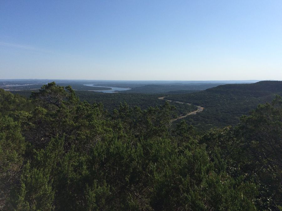
The hills above the shore are part of the Balcones Canyonlands, and you can combine a lake evening with the overlook at Warbler Vista on FM 1431, which looks out over the same country from higher up. In spring, add a drive past the roadside flowers covered in the bloom guide.
The lake's calendar
Late spring is often the best time: the water is warming, wildflowers are out on the slopes, and the summer crowds have not yet arrived. From June to August the lake is at its busiest, and the north shore parks fill on weekends. September and October bring warm water and quieter shores.
Winter is for walking and watching birds. Loons, grebes and ducks winter on the open water, and bald eagles are seen around the lake some winters. The shoreline, empty of swimmers, is a calm place for a cold-weather picnic.
From Lakeline to the water
From the Lakeline area, FM 1431 heads west through Cedar Park into the hills, past Jonestown and on to Lago Vista. The drive takes roughly half an hour to the nearest parks, more at rush hour. The road is busy and winding in places, with few shoulders.
Bring everything you need: water, food, sun protection and a bag for your rubbish. Services along the shore are few, and in the parks you are on your own. The reward is a quieter side of the region's best-known lake, and a sunset over water that is never quite the same height two years in a row.