Creeks · Georgetown
The San Gabriel River trail through Georgetown
Two forks of the San Gabriel meet a few blocks from Georgetown's square. A riverside trail links a spring-fed swimming hole, big shady parks and limestone bluffs along the water.
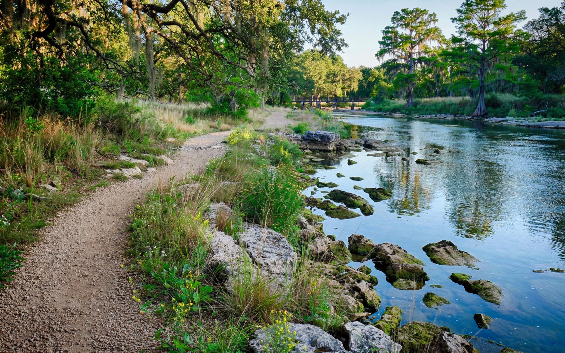
Georgetown sits where the San Gabriel River comes out of the Hill Country. Its North and South forks meet just below the old town, and from there the river runs east towards the Blackland Prairie. The city has turned the banks into a chain of parks joined by a riverside trail, so you can walk from the courthouse square down to the water and follow it for miles under pecans, cedar elms and live oaks.
A river with an old name
The San Gabriel has been a landmark for a long time. Spanish missionaries knew it in the eighteenth century, when a short-lived group of missions was built on its banks further downstream to serve several Indigenous peoples of the region. The missions lasted only a few years, but the river kept its Spanish name.
When Anglo settlers founded Georgetown in 1848, they placed it on the high ground above the confluence, close to good water and the timber along the banks. The river later powered mills and watered gardens, and its floods shaped where the town could and could not grow. Today the floodplain that once made building risky is mostly parkland, which is why there is so much green along the water.
Blue Hole
The best-known spot is Blue Hole, a deep, clear pool on the South San Gabriel just below downtown. A pale limestone bluff rises on one side, and on the other a park slopes down to the water with steps and grassy banks. The water is cool, fed by springs and the river, and on hot afternoons it is full of swimmers and floating families.
There are no lifeguards, and the pool is deep in places. Children need life jackets, and jumping from the bluff is not allowed. Rules about glass, alcohol, pets and swimming hours are posted at the park and enforced, and the small parking lots fill quickly on summer weekends. Walking down from the square is often easier than driving.
Even if you do not swim, Blue Hole is worth a look. The water has the blue-green clarity that gives the place its name, and the limestone bluff opposite is pocked with small caves and ledges where swallows nest in summer. In the early morning, before the crowds, it is one of the quietest spots in town.
Following the trail
From Blue Hole, the river trail heads downstream past the confluence and on through a series of parks. The path is mostly concrete or packed granite, wide enough for strollers and bikes, and it ducks under road bridges so you rarely cross traffic. Side paths lead down to gravel bars and rock ledges where you can sit by the water.
The largest park on the route is San Gabriel Park, a long-established city park with huge old live oaks and pecans, picnic tables, sports fields and access to the river along much of its length. Upstream, other sections follow the North Fork towards the west side of town.
Together the trail sections run for several miles. A walk from Blue Hole through San Gabriel Park and back makes a comfortable morning, and cyclists can easily cover the whole network.
Along the way, look for the signs of the river's work: smooth limestone shelves scoured by floods, gravel bars of rounded pebbles carried down from the hills, and the tangle of driftwood caught high in trees after the last big rise. Turtles bask on logs in the slow stretches, and fish rise in the evening.
When the river floods
The San Gabriel can rise very fast after heavy rain in the hills upstream. Floods have reshaped these banks many times, and parts of the trail sit on the floodplain. After big storms, sections can close because of high water, mud and debris. Low crossings and gravel bars that are easy to reach on a dry day can disappear under fast, brown water.
Never enter the river or walk through water on the trail when it is rising or murky. Watch for closure signs and barricades, and give the city time to clean up after a flood. Water quality also drops after storms, so it is wise to skip a swim for a few days.
Seasons by the water
Spring brings fresh green to the pecans and wildflowers on the open banks. Early summer is the high season for Blue Hole, when the water is still cool compared with the air. September and October are quieter, with warm water and fewer crowds. In winter the trail is pleasant for walking and birdwatching: kingfishers, herons and wintering ducks are common along the river.
Whatever the season, start early in summer, when the path is shaded and cool and the parks are still empty.
Joining it to the rest of town
The river trail is the natural second half to a morning on Georgetown's square, a few blocks uphill. Follow the river west and you are heading towards Lake Georgetown, whose dam holds back the North Fork; the lake's Goodwater Loop trail offers a rougher, longer walk along the same water. For a similar creek trail closer to Lakeline, try the Brushy Creek Regional Trail in Cedar Park.
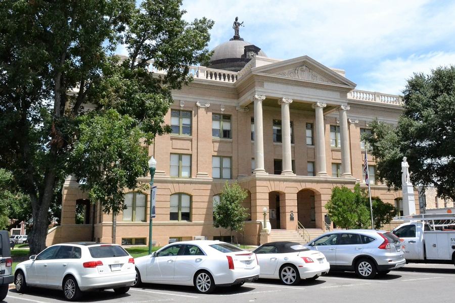
Few towns this size have a river this inviting a short walk from their main square. Bring a towel, plan for a swim, and let the river set the pace of the day. The square will still be there when you climb back up.