Trailhead towns · Leander
Leander, where the roads start to climb
Leander grew up beside a railroad and kept growing fast. For walkers it is the last suburb before the hills: a small lake loop in town, open country just beyond.
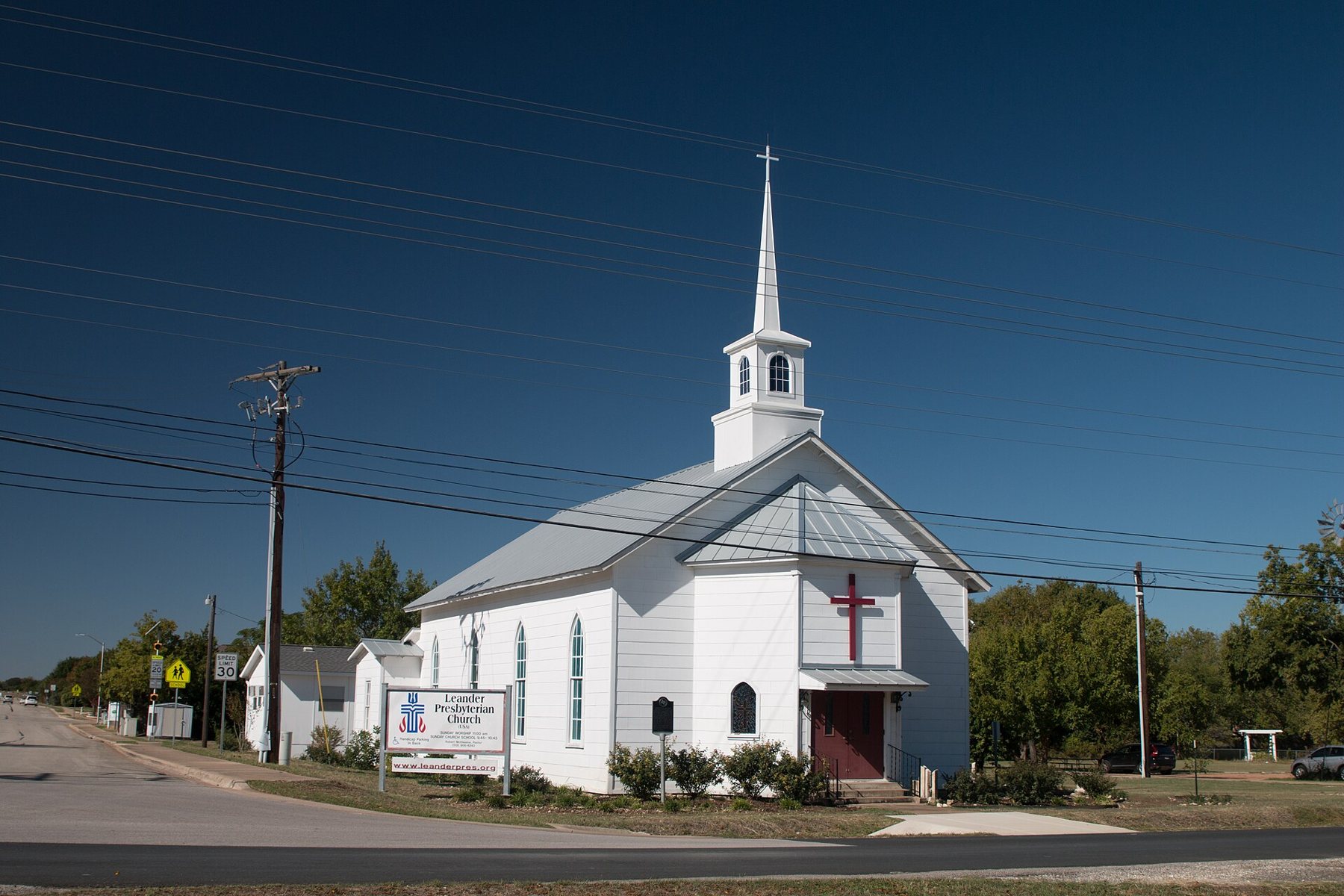
A railroad town that kept moving
Leander began with a railroad. In the early 1880s a line was built north-west from Austin towards Burnet to haul granite and goods out of the Hill Country, and a town was laid out beside the tracks. It took its name from a railroad official, Leander Brown. Settlers from the older community of Bagdad, a short distance away, moved over to be near the trains, and Bagdad faded to little more than its cemetery.
The Bagdad Cemetery is still there, on a rise west of the old town, and it is one of the quieter places to understand how the area looked before the suburbs. Its older stones carry the names of farming families from the 1850s onward, set among live oaks and native grass. Visit it as you would any active burial ground: keep to the paths and leave everything as you found it.
For most of the twentieth century Leander stayed small: a rural crossroads on the way to the lakes and the granite country. That changed at the end of the century as Austin spread north along US 183. In the years since, Leander has been one of the fastest-growing cities in the United States, and much of what you drive through now is new: subdivisions, schools and wide roads laid over former ranchland.
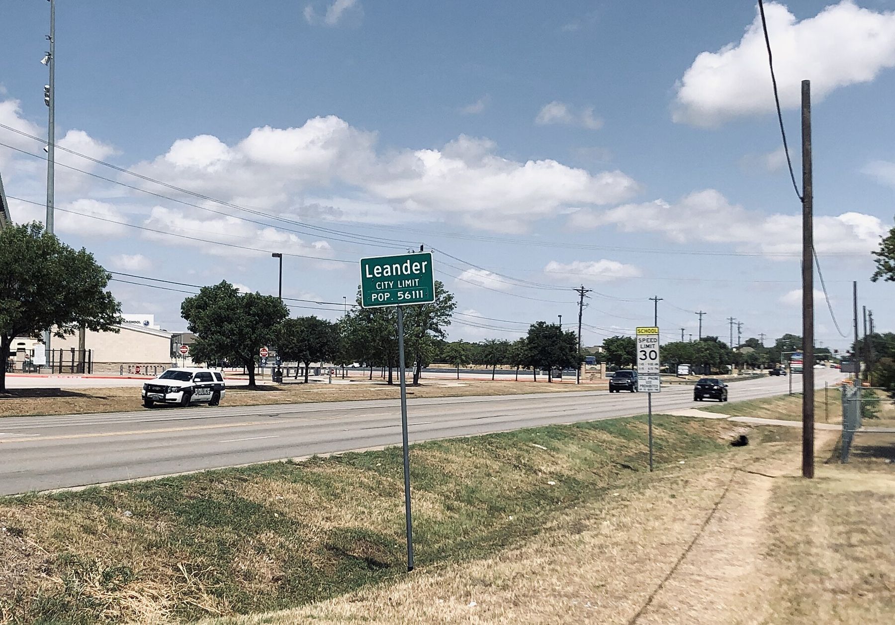
Very old neighbours
People were here long before the railroad. In the early 1980s, highway work near Brushy Creek uncovered the Wilson-Leonard site, where archaeologists found a human burial roughly ten thousand years old, among the oldest known in Texas. The press nicknamed the woman the Leanderthal Lady. The site shows that the creeks and springs at the foot of the Balcones Escarpment drew people for thousands of years, for the same reasons they draw walkers now: water, shade and a meeting point between prairie and hills.
There is little to see of the site itself today, but it is worth remembering as you walk the creeks of the area. The land under the new rooftops has a long human story.
Devine Lake and the loop in town
Leander's own outdoor space is modest. The best-known spot is Devine Lake Park, a city park around a small lake with a walking loop, a fishing pier and open lawns. It is a place for an easy walk or a run rather than a hike, and a pleasant one at the ends of the day when herons work the shallows and families come out after the heat.
Because the park is young and much of it open, shade is limited. In summer it is a sunrise or sunset walk. The path is paved or firm-surfaced in most places, which makes it one of the more accessible walks on this board.
Leander has also been adding greenbelt paths along its creeks as new neighbourhoods go in, and short sections link parks to schools and streets. They change quickly as building continues, so the city's own park pages are the place to check what is open and connected before you plan a longer walk.
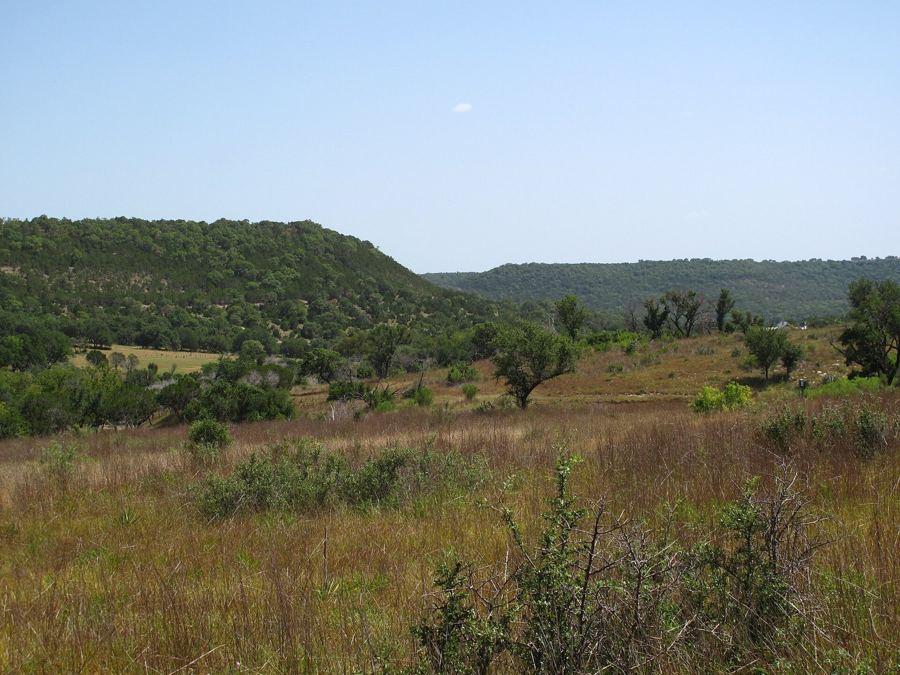
Where the land rises
Leander matters most as a jumping-off point. Drive west from town and within a few miles the suburbs thin out, the roads start to climb and dip, and the view opens towards the Hill Country. This is the eastern edge of the Balcones Canyonlands, a broken landscape of juniper, oak, limestone ledges and deep creek valleys.
From here the public trails of the Balcones Canyonlands National Wildlife Refuge are within easy reach. Doeskin Ranch offers prairie and creek walks to the north-west, and the overlook at Warbler Vista lies to the south-west above Lake Travis. Further on, the granite and clear water of Inks Lake are about an hour away.
The roads west are two-lane in places, with fast traffic and few services once you leave town. Fill up with fuel and water in Leander before heading into the hills.
Arriving by train
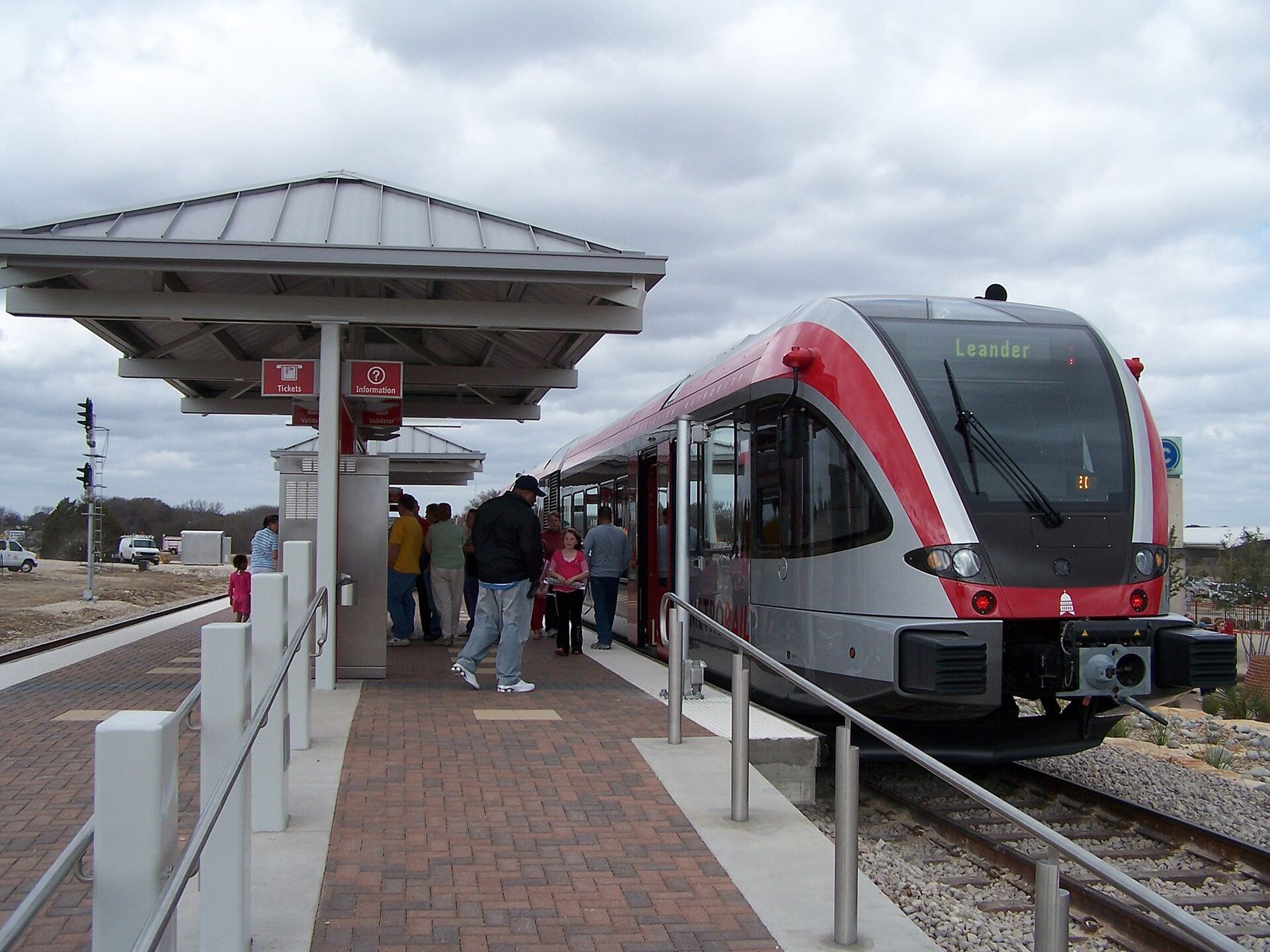
Leander is also the northern end of the Capital Metro Red Line, the commuter rail service that runs to downtown Austin. The station sits on the edge of town beside a park-and-ride lot. Train frequency is limited and weighted towards commuting hours, especially at weekends, so check the timetable before relying on it.
The line offers an unusual car-free way into this guide's territory. Ride north from Austin, walk or cycle from the station, and you are at the edge of the suburbs, though reaching the trails in the hills still needs a car or a long bike ride on busy roads.
An easy half day
A simple plan for a cooler morning: an early loop at Devine Lake, breakfast somewhere in town, then a drive west into the canyonlands with a walk at Doeskin Ranch before the sun is high. Or flip it for an evening, starting with the long view at Warbler Vista and ending with a lap of the lake as the lights come on.
Leander does not have the courthouse square of Georgetown or the creek trail of Cedar Park. What it has is position. It sits right where the city stops and the hills begin, and from its edge you can feel the land change under the wheels: flat and built-up behind you, folded and wooded ahead.