Trailhead towns · Cedar Park
Cedar Park as a trailhead town
Cedar Park grew from a cedar-cutting and lime-burning settlement into one of Austin's big suburbs. Its parks and creek trail make it the easiest place on this board to start.
Named for the trees on the hills
Before the subdivisions, the hills where Cedar Park now stands were covered in Ashe juniper, the tree everyone in central Texas calls cedar. It grows thick on thin limestone soils, and for generations it shaped the local economy. Families known as cedar choppers cut the straight trunks for fence posts and burned the wood for charcoal, selling both in Austin. Lime was burned from the local limestone too, in kilns fired with that same cedar.
The railroad arrived in the 1880s, on its way north-west to Burnet and the granite quarries, and a small community grew around the line. For most of the twentieth century it stayed a rural place on the road to the lakes. The city incorporated in the 1970s, and over the following decades Austin's growth rolled north up US 183 and swept it into the metro area. Today it is a large suburb of shopping centres, schools and housing estates, with the Lakeline district of Austin directly on its southern edge.
The cedar is still there, on the steeper hills to the west and in the greenbelts. So is the limestone, showing through in road cuts and creek beds wherever the ground has been opened up.
Ashe juniper divides opinion in Texas. Ranchers long cleared it as a weed that crowds out grass and drinks scarce water, and many people suffer from its winter pollen, the season locals call cedar fever. Yet old-growth juniper woodland is also the only nesting habitat of the golden-cheeked warbler, and its shade keeps creeks cooler and soils in place on steep slopes. The trees that gave the town its name are now, in places, protected land.
The creek on the southern edge
Cedar Park's best outdoor asset runs along its southern side. Brushy Creek flows east out of the hills here, and the Brushy Creek Regional Trail follows it from Brushy Creek Lake Park towards Round Rock. The lake park is the natural starting point for a walk or ride, with parking, restrooms, a splash pad and a small lake behind a flood-control dam.
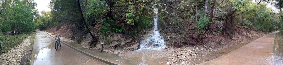
A short walk east from the park takes you into the shade of the creek corridor, with limestone ledges and pools. A longer outing follows the trail several miles downstream and back. Families with small children often do no more than a lap of the lake and a stretch of the creek path, which is plenty for little legs.
Early in the morning the dam top and the lake shore are quiet, with herons and egrets fishing and joggers making their rounds. By mid-morning on weekends the lawns fill with sports and birthday parties.
Parks around town
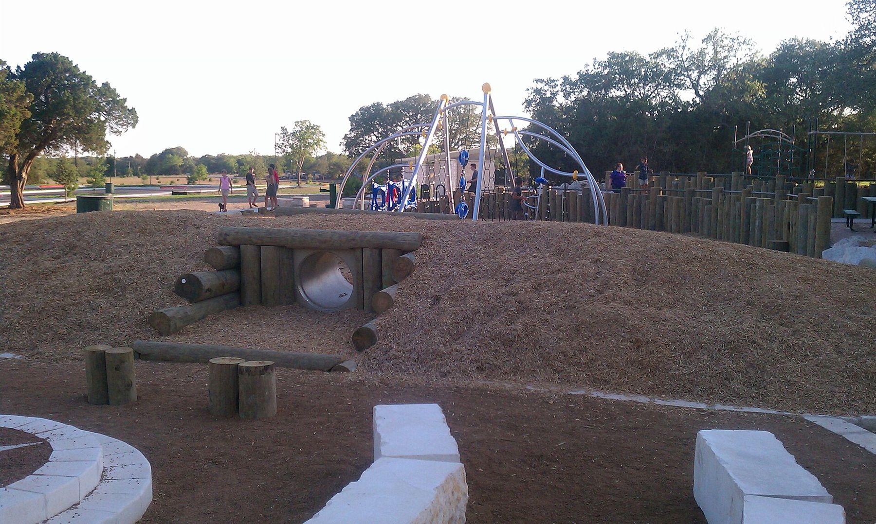
The city maintains a set of neighbourhood and community parks with sports fields, playgrounds and short walking loops. Veterans Memorial Park, near the middle of town, is one of the larger ones, with memorials, open lawns, a playground and paths. Other parks follow small creeks between neighbourhoods, and some are linked by short trails.
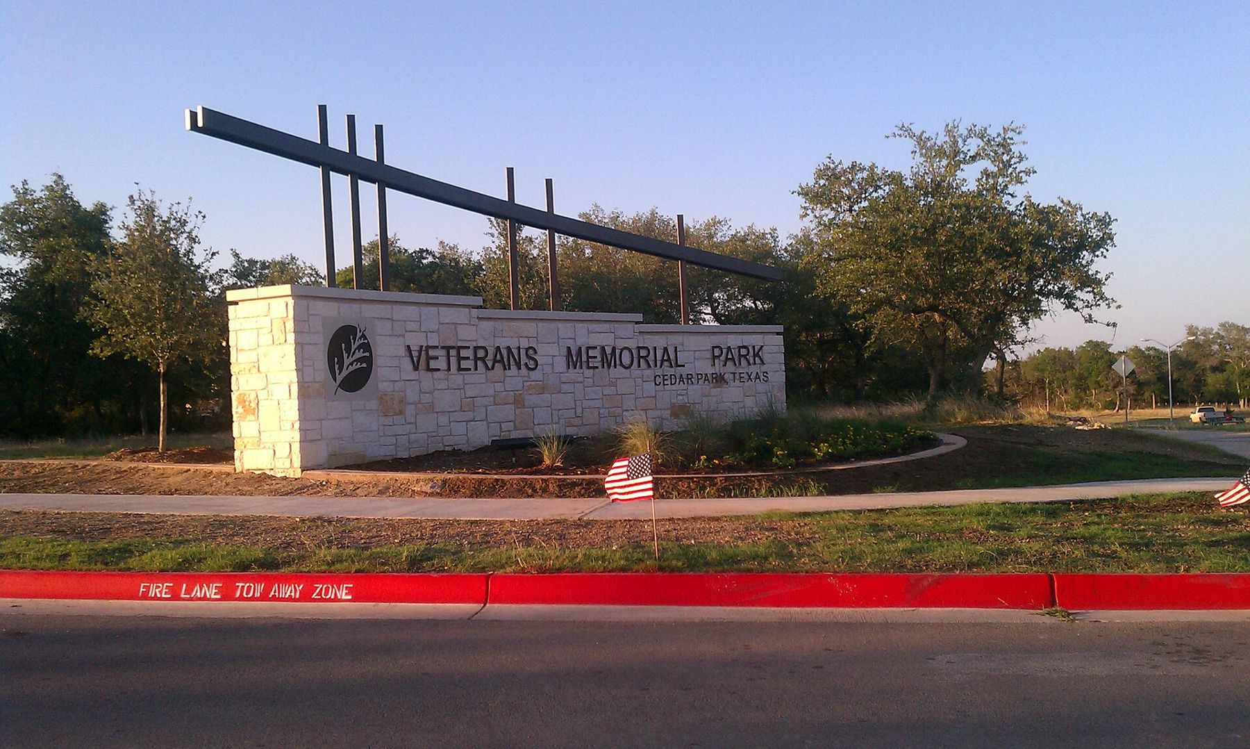
None of these is wild country, but they are useful. They give you an easy loop before work, a place to let children run while one parent goes for a longer ride, or a picnic stop on the way back from the hills. Park hours, facilities and splash pad seasons are set by the city and change from year to year.
Into the hills from here
Cedar Park's location is its real advantage. Head west on FM 1431 and within minutes the houses thin out and the road starts to rise into the Balcones Canyonlands, the broken, wooded country that stretches towards Lake Travis. The overlook at Warbler Vista is about twenty minutes away, and the north shore parks of Lake Travis are a little further.
North, Leander marks the edge of the suburbs on US 183, with the refuge's prairie trails at Doeskin Ranch beyond. East, Round Rock and the Blackland Prairie begin. South, across the line into Austin, lie the Lakeline district and the creek greenbelts at Bull Creek and Walnut Creek.
A day planned around the heat
Cedar Park in summer is a study in timing. The open parks and wide roads soak up heat, and by early afternoon the playgrounds are too hot to touch. Plan your outdoor hours like this:
- Early morning: walk or ride the shaded creek section of the regional trail.
- Late morning: an indoor break, or a drive west into the hills with the air conditioning on.
- Afternoon: splash pads, swimming or the lake shore if you want to be outside at all.
- Evening: a sunset from the hills west of town, then a walk at dusk when the heat breaks.
From October to May the timing matters much less. Mild days make almost any hour good for being outside, and winter cold fronts bring the clearest views.
Getting here and getting around
US 183 runs north-south through the city, with a toll road alongside it, and FM 1431 runs east-west. Both are busy at rush hour. Public transport is limited: Austin's commuter rail line has a station at Lakeline on the Austin side of the border and continues north to Leander, but most parks and trailheads in Cedar Park need a car or a bike to reach.
Cycling within town is easiest on the regional trail and quieter residential streets. The main roads are fast and busy, and crossing them on a bike takes care.
Cedar Park will never be a destination in its own right for most visitors. As a base for the creek, the lake and the hills, it is hard to beat: close to the city, close to the country, and with a green corridor of creek running along its edge.